 vesseltracker.com
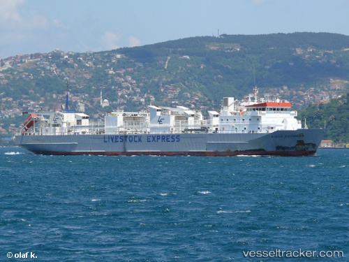
Vessel MV:ADRIATIC ROSE IMO: 9115949, MMSI: 341277002 Livestock Carrier
UTC, -13.81754, -35.53255, course: 210, speed: 15.1
UTC, -14.24019, -35.76887, course: 207, speed: 14.9
2026-02-22 15:31:00 UTC, -14.51319, -35.91688, course: 207, speed: 14.7
Live AIS position:
UTC. 169 nm SE of Arembepe),
updated 2026-02-22 15:31:00 UTC.
Find the position of the vessel MV:ADRIATIC ROSE on the map. The latter are known coordinates and path.
marine traffic ship tracker show on live map
The current position of vessel MV:ADRIATIC ROSE is -14.51319 lat / -35.91688 lng. Updated: 2026-02-22 15:31:00 UTCCurrently sailing under the flag of Saint Kitts and Nevis
Details:
Last coordinates of the vessel:
UTC, -13.81754, -35.53255, course: 210, speed: 15.1UTC, -13.81754, -35.53255, course: 210, speed: 15.1
UTC, -14.24019, -35.76887, course: 207, speed: 14.9
2026-02-22 15:31:00 UTC, -14.51319, -35.91688, course: 207, speed: 14.7